METAR-TAF
Airports :
Lajes Field
Terceira, Azores, Portugal
latitude: 38-46N, longitude: 027-06W, elevation: 52 m
Current weather observation
The report was made 1 hour and 8 minutes ago, at 21:00 UTC
Wind 4 kt from the South/Southeast, varying between Southeast and South
Temperature 14°C
Humidity 77%
Pressure 1023 hPa
Visibility 10 km or more
Scattered clouds at a height of 2500 ft
Broken clouds at a height of 3500 ft
Broken clouds at a height of 3500 ft
METAR: LPLA 032100Z COR 15004KT 130V190 9999 SCT025 BKN035 14/10 Q1023
Time: 22:08 (22:08 UTC)
Forecast
The report was made 5 hours and 0 minutes ago, at 17:08 UTC
Forecast valid from 03 at 18 UTC to 04 at 18 UTC
Wind 8 kt from the West/Northwest
Visibility 10 km or more
Few clouds at a height of 2500 ft
Broken clouds at a height of 3000 ft
Broken clouds at a height of 3000 ft
Becoming
from 04 at 06 UTC to 04 at 08 UTC
from 04 at 06 UTC to 04 at 08 UTC
Scattered clouds at a height of 1500 ft
Scattered clouds at a height of 3000 ft
Scattered clouds at a height of 3000 ft
Probability 40% :
Temporary
from 04 at 07 UTC to 04 at 10 UTC
from 04 at 07 UTC to 04 at 10 UTC
Visibility: 6000 m
Scattered clouds at a height of 1000 ft
Broken clouds at a height of 1500 ft
Broken clouds at a height of 1500 ft
light rain, drizzle
TAF: LPLA 031708Z 0318/0418 30008KT 9999 FEW025 BKN030 BECMG 0406/0408 SCT015 SCT030 PROB40 TEMPO 0407/0410 6000 -RADZ SCT010 BKN015
Weather observations and forecasts of more than 4000 airports (METAR and TAF reports).
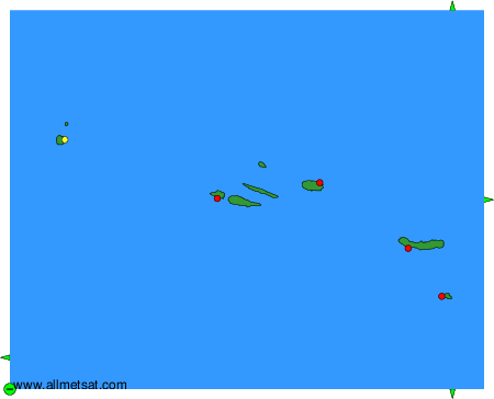
The available stations are represented by yellow and red dots on the map.
Hover mouse over dot to see the name of the station.
Then click to see weather observations and forecasts.
To change the map : click on the green buttons with a black cross to zoom in, on the green button with a dash to zoom out, or on the green arrows for adjacent maps.